In today’s urban environments, Municipal Police units are facing increased pressure: respond quickly, coordinate seamlessly, justify presence, and maintain citizen trust—all while ensuring officer safety. Wearin’ is the connected ecosystem that equips officers, command, and leadership with real-time intelligence and structured data—turning everyday interventions into safer, faster, and more accountable operations
Get a DemoWhen officers are facing a threat, they’re expected to manage the situation, report their location, describe the suspect, and call for support —all at once. But when seconds matter, officers must focus on the mission. That’s where Wearin’ comes in.
Let your officers focus on the threat. Wearin’ keeps command in sync.
Our AI-powered motion algorithm detects when an officer breaks into a sprint. Wearin’ instantly alerts command, triggers video streaming, and shares live location without any manual input
Seconds matter. One press is all it takes
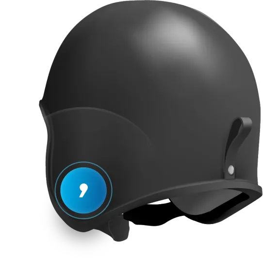
A lightweight, discreet yet ergonomic button allows officers to instantly request backup—even in high-stress or covert situati ons. The alert is transmitted immediately to the command center along with live location and optional data feeds
Never alone. Always backed up
If an officer falls and remains unresponsive, the system triggers an automatic Man Down alert, instantly relaying their location and live audio-video stream to the command center for immediate intervention and support
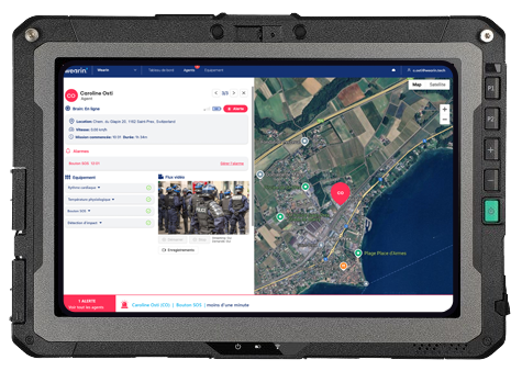
Most command centers operate with partial visibility, manual updates, or uncertainty about who’s where and with what gear. Wearin’ gives command & control the real-time intelligence to make fast, precise, and safe decisions.
Tactical visibility, triggered only when it matters.
When an alert is raised, Wearin’ instantly shares the officer’s live location and video stream, along with the positions of nearby teammates. This alarm-based activation gives command immediate visibility where and when it’s needed
The perimeter builds itself. The picture completes itself.
When an incident occurs, Wearin’ automatically generates a dynamic geofence around the area. Within this perimeter, the system maps nearby patrols and displays their live status and gear—allowing command to send the most appropriate units
Who’s nearby. What they carry. What they’re doing.
Beyond dots on a map, Wearin’ gives command a mission view: active officers, current role (patrolling, intervening, enroute), and equipment loadout (e.g., taser-equipped, armed, or unarmed). That’s how you send the right team, the first time
Today, they often rely on fragmented reports, citizen complaints, or outdated tools to evaluate field operations. Wearin’ turns every intervention into structured, time-stamped data — enabling you to justify police presence, demonstrate responsiveness, and allocate resources with confidence.
Know which areas were covered. Anticipate those that weren’t.
Wearin’ aggregates anonymous geolocation points from all your municipal police patrols—without tracking individuals. This collective data turns into visual heat maps of territory coverage, helping you spot blind zones, reassign patrols, and demonstrate presence where it matters most
Lead with facts. Allocate with precision.
Time-stamped intervention logs and aggregated patrol activities help you balance workload, justify team size, and plan operations with clarity. Understand when and where your teams are most needed—and back your decisions with real field data
Break silos. Unify your tech.
Wearin’s open platform integrates seamlessly with your existing systems—radios, cameras, sensors, and reporting tools. You’re free to
build your own ecosystem and centralize all operational data under one roof for better coordination, efficiency, and long-term scalability.
Officers can’t do it all in the heat of action. Wearin’ automates alerts and data sharing so they can stay mission-focused.
Fragmented updates slow down decisions. Wearin’ gives command live intel on team status, location, and context — all in one view.
Proving performance is hard with scattered reports. Wearin’ turns field actions into measurable data for smart decisions and visible results.
PROTECTED AGENTS
React immediately to emergencies, while predicting and mitigating risks.
SITUATIONAL AWARENESS
Improve coordination and response times with real-time, two-way data flow and automatic alerts.
EASE OF USE
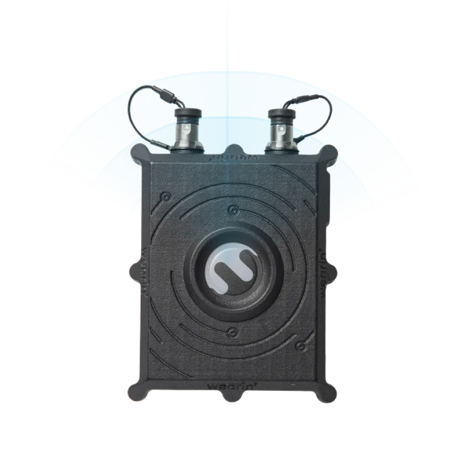
Ensure agent mobility and comfort with lightweight, integrated devices and centralized power.
ADVANCED DATA ENCRYPTION
Protect sensitive data and agent privacy with secure, end-to-end encryption and GDPR compliance.